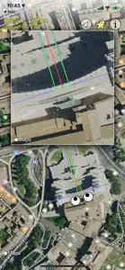
In order to make this really useful, there needs to be information about topology and elevation. See for example Scenic Maps...if the eyes could "fly" through a region in 3D, one could generate a stereographic virtual pair, to evaluate whether the target scene is obstructed by closer objects, or whether closer objects could have too much stereo disparity.
At the very least, please make it possible to export the too eyes GPS coordinates (and perhaps also the view angle) to let us drop this information into a topo map.
But it would be even better to make the synthetic views for 'real time' evaluation.
Show less


